Ellis Coleman · 7 November 2026
Lublin Technical University Launches Student Drone Project to Identify Campus Waste Patterns
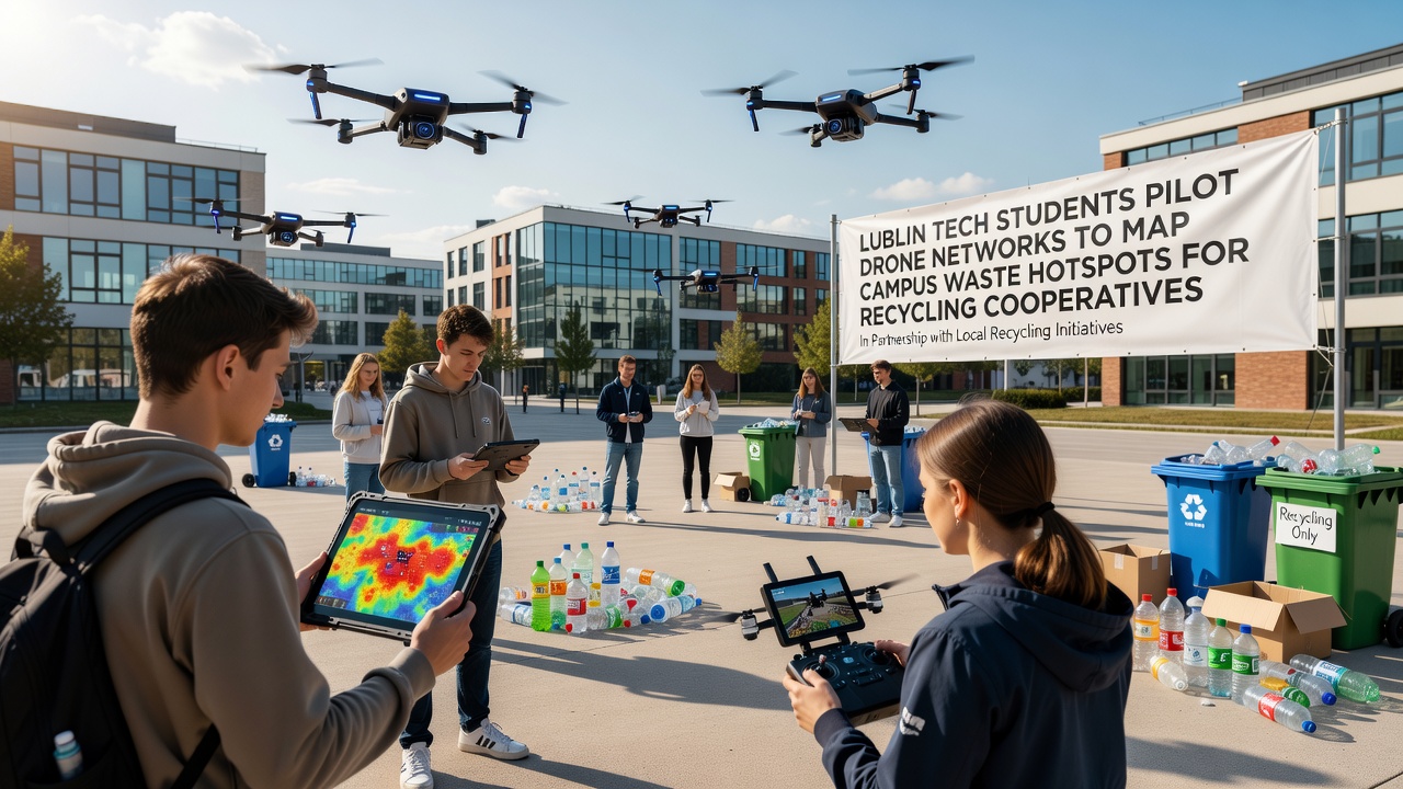
Students at Lublin University of Technology have started a pilot program that uses networks of drones to locate and map areas where waste accumulates on campus grounds, with the goal of supporting local recycling cooperatives in November 2026. The initiative involves multiple departments working together to collect data on waste distribution patterns across several university locations in Lublin, and it connects directly with cooperative groups that handle material recovery in the region.
Project Setup and Technical Details
The program began in early autumn when engineering and environmental science students assembled a fleet of small unmanned aerial vehicles equipped with sensors and cameras that capture high-resolution imagery while flying predefined routes over parking areas, green spaces, and building perimeters. Data collected during these flights feeds into mapping software that highlights zones with higher concentrations of discarded items such as plastics, paper, and organic matter, and the resulting heat maps help cooperatives plan collection routes more efficiently. Observers note that the drones operate under strict aviation guidelines set by Polish civil aviation authorities, and flight paths remain limited to university property to maintain safety and regulatory compliance.
Data Collection Process
Teams divide responsibilities so that one group manages drone flights while another processes the incoming visual and sensor information through specialized algorithms that distinguish between different waste types based on shape, color, and texture patterns. The processed data then gets shared with participating recycling cooperatives that operate collection points near the campus, and this exchange occurs through secure digital platforms that allow real-time updates on hotspot locations. Figures from the initial test flights show coverage of approximately twelve hectares of land during each session, with mapping accuracy reaching levels that match ground surveys conducted by university staff in previous years.
Partnership with Local Recycling Groups
Cooperative organizations based in the Lublin area have joined the effort because the mapped information allows them to allocate collection resources toward spots where materials pile up most frequently, reducing unnecessary trips and improving overall recovery rates. University records indicate that three cooperatives currently receive weekly data summaries, and early results show a measurable increase in the volume of sorted recyclables collected from campus-adjacent sites. Researchers involved in the project point out that similar mapping techniques have appeared in other Polish cities, yet this remains one of the first instances where students lead the technical development and data delivery directly to community partners.
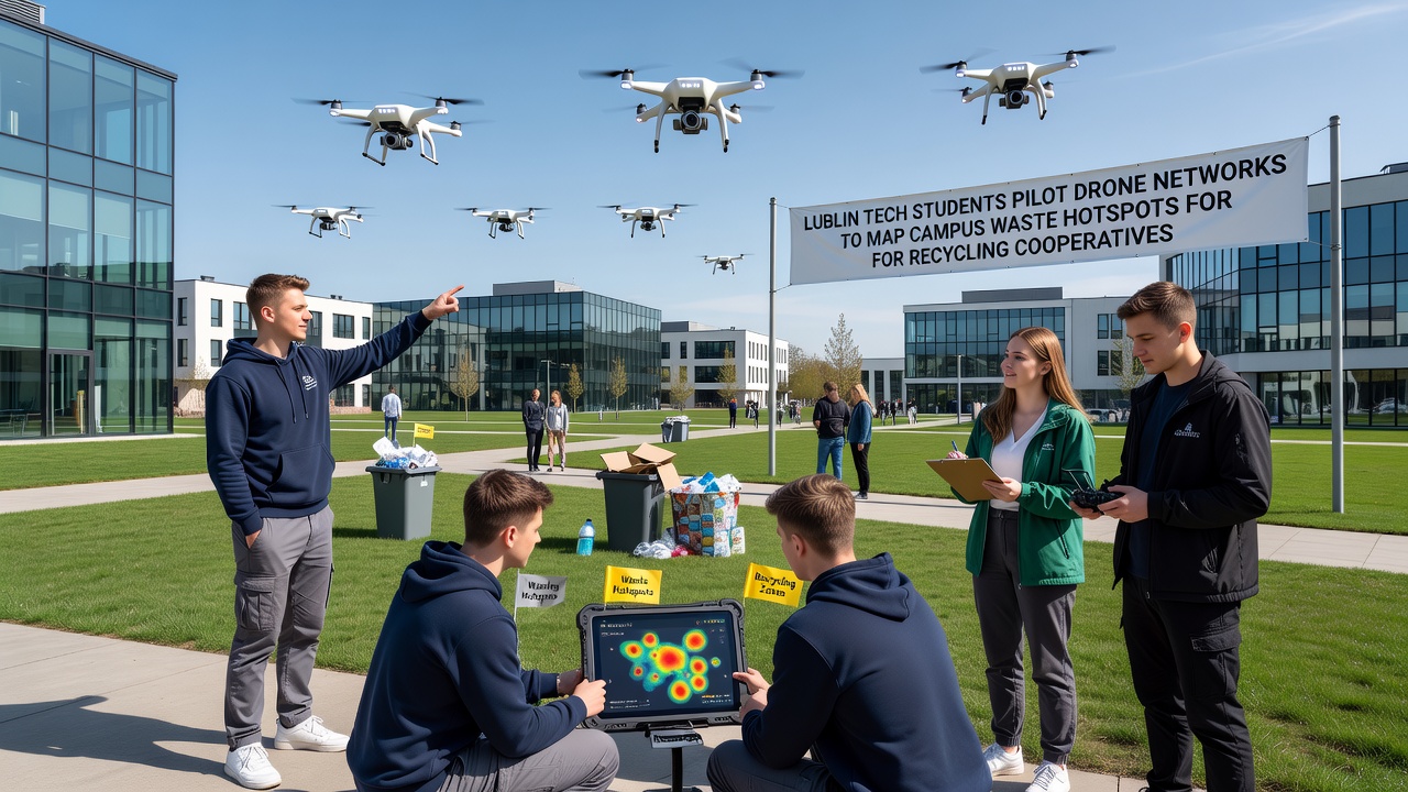
Training sessions for cooperative members take place on campus every other week, where participants learn how to interpret the drone-generated maps and integrate them into their existing logistics systems. Data shared during these meetings includes timestamps, location coordinates, and estimated material volumes, all formatted for easy import into standard mapping applications used by the cooperatives. According to project documentation, the collaboration also includes feedback loops that let cooperative workers report back on map accuracy so students can refine their detection algorithms over successive flights.
Broader Context in Polish Higher Education
Technical universities across Poland have expanded student involvement in environmental monitoring projects during recent years, and the Lublin effort aligns with national strategies that encourage practical applications of drone technology in urban planning and waste management. The European Environment Agency has published reports on how aerial data collection supports circular economy goals in member states, and the Lublin pilot draws from similar approaches documented in those publications. Students participating in the program receive academic credit through elective courses that combine engineering skills with environmental policy topics, creating a pathway for graduates to enter fields related to sustainable resource management.
Future Expansion Plans
Project leads have outlined steps to increase the number of drones in the network and extend coverage to additional campus buildings scheduled for completion in 2027, while also exploring partnerships with municipal waste authorities beyond the current cooperative network. Plans include integration of weather data and seasonal usage patterns to predict changes in waste distribution throughout the academic year. Observers from other technical institutes in Poland have visited the Lublin site to examine the setup, and several have expressed interest in adapting the model for their own campuses.
Conclusion
The drone mapping pilot at Lublin University of Technology demonstrates how student-led technical work can connect with established recycling cooperatives to improve data-driven decision making around campus waste. As the program continues through November 2026 and into the following semesters, the collected information provides a foundation for more targeted collection efforts while giving participants hands-on experience with aerial surveying methods and cooperative data sharing practices. Additional details about ongoing results appear in university reports that track material recovery volumes and mapping precision over time.